Photogrammetry Services
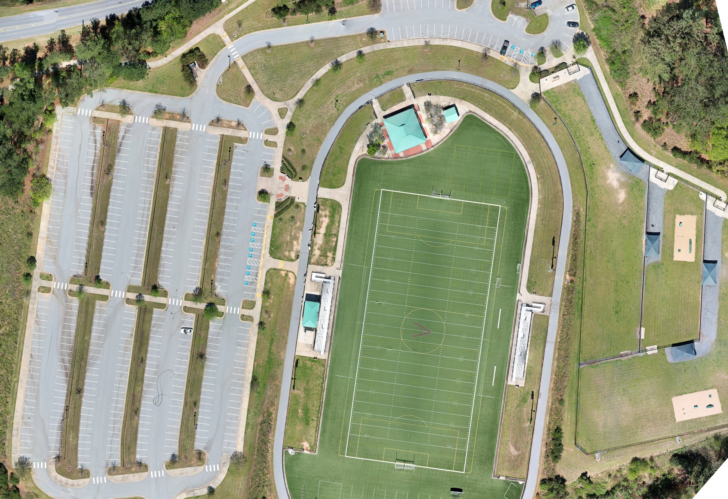
Orthomosaic mapping and 3D Modeling for your needs
Leverage real-time data to stay up to date on your property developments
Photogrammetry allows for the creation of up-to-date high definition maps and modeling designed for your specific needs
Development updates, surface analysis, 3D modeling
Reach out for a free consultation today!


